Shaping Your Outdoors. Surpassing Expectations.

Lake Stevens Driveway Apron Installation
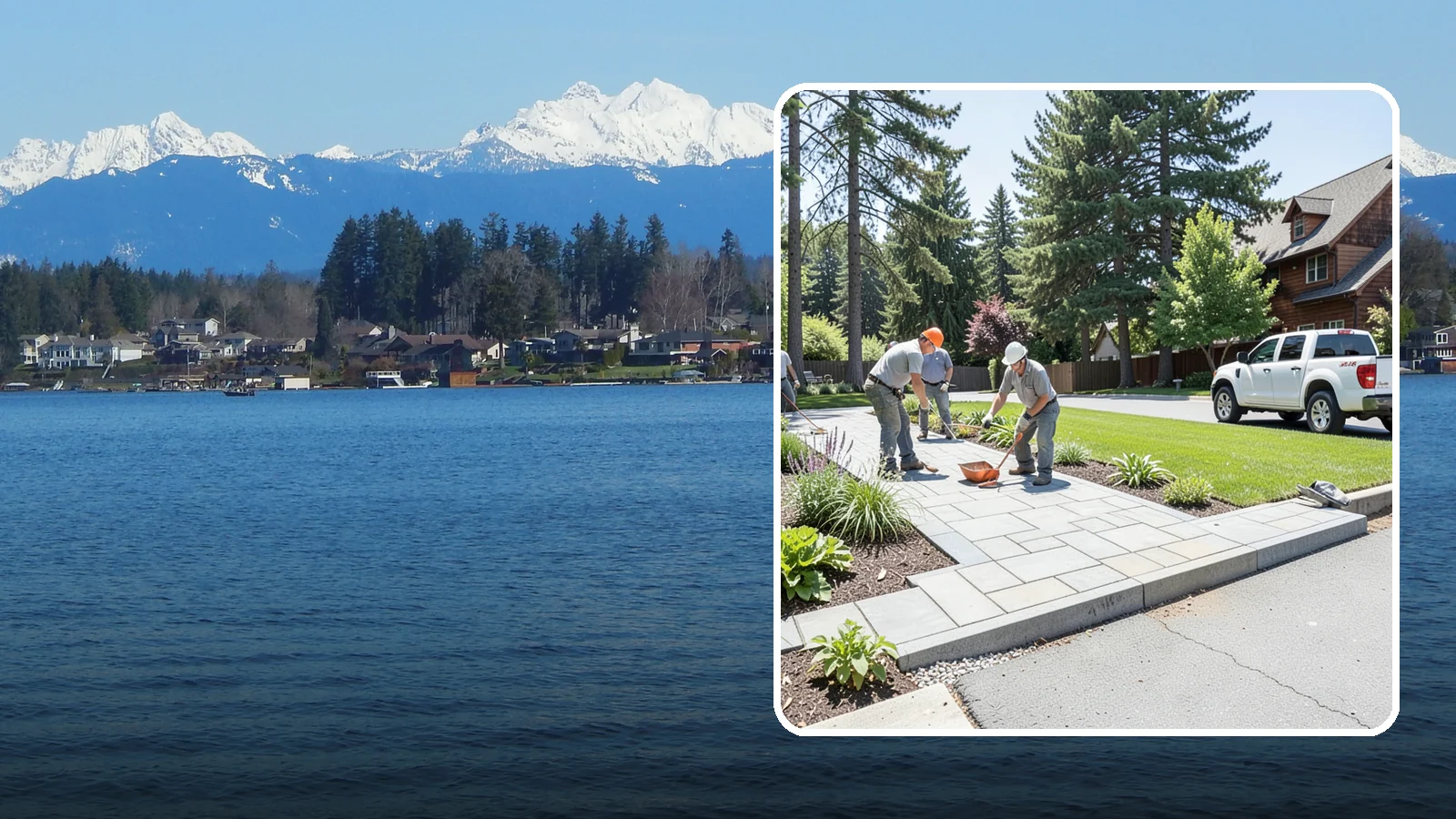
The transition apron between street and driveway, built to code for a smooth, durable entrance.
Lake Stevens sees about 40 days a year when temperatures freeze at night and thaw by day, per Daymet. That cycle is hard on a driveway apron, the strip of concrete where your driveway meets the street. Water gets into small cracks, freezes, expands and widens them.
Washington Landscaping installs driveway aprons with that cycle in mind. The work comes down to a solid base, good drainage and careful finishing. Call or text 425-433-9444 for a free estimate.
How a Driveway Apron Is Built in Lake Stevens
An apron takes weight from vehicles and sits at the edge of the street, so the steps below the surface matter as much as the concrete itself.
The steps
- Mark the apron area and check with the city on permit needs before any work starts.
- Remove the old apron or surface and dig out soft material.
- Compact a gravel base so the slab sits on firm, even ground.
- Set forms and shape the slope so water runs off toward the street instead of pooling.
- Pour, finish and cure the concrete before it takes traffic.
Why freeze and thaw matter
With about 40 freeze-thaw days a year, per Daymet, water that sits on or under a slab has plenty of chances to freeze. A compacted, free-draining base and a correct slope give that water somewhere to go. Joints placed in the slab also help control where it cracks as it moves.
Rain and soil
Lake Stevens gets about 50.8 inches of rain a year, but only about 3.7 days bring an inch or more (Daymet, 2005-2025). Most rain arrives as steady, lighter days. That means a driveway edge stays damp for long stretches, so runoff planning is not optional.
The USDA soil survey rates about 8% of the city's rated land as poorly drained. That describes the city as a whole. Your own yard may drain better or worse, so the base depth may need to be adjusted once the old apron is out and we can see what is underneath.
What to expect from us
Washington Landscaping has been in business since 2004 and is licensed, bonded and insured ($2M). Hardscaping work carries a 1-year workmanship warranty. Estimates are free, and financing is available subject to credit approval. Call or text 425-433-9444 to set up a visit.
Lake Stevens yard conditions at a glance
| Days that freeze at night and thaw by day | 40 a year |
|---|---|
| Land sloping 15% or more | 12% (40% or more: 0.6%) |
| Days with 0.1 in or more of rain | 136 a year |
| Soil drainage (rated land) | 4% well, 88% moderately well, 8% poorly drained |
| Elevation range | 105 to 441 ft |
A year in a Lake Stevens yard
- Late winter
- Dormant pruning for most deciduous trees and shrubs, before buds break.
- Spring
- Last frost is usually around Mar 24; in 1 year in 10 it comes on or after Apr 12. Plant frost-tender annuals and vegetables after that.
- Early summer
- Check sprinklers and drip lines before July, the start of the dry months here.
- Summer
- July average 0.7 in. Water deeply and less often; mulch beds to hold moisture.
- Fall
- Aerate, overseed and plant trees and shrubs while the soil is warm; first frost is usually around Nov 10. Winterize irrigation before then.
- Winter
- About 40 days a year freeze at night and thaw by day: keep drains, paver joints and wall weep holes clear.
Dates are medians for the city from Daymet 2005-2025; your yard and any given year can differ.
How Lake Stevens’s soils drain
- Well drained4%
- Moderately well88%
- Poorly drained8%
Share of rated land in the USDA SSURGO soil survey; built-over ground is not rated. A soil check on your lot tells you what you have.
Sources: Daymet daily weather (NASA/ORNL), 2023 USDA Plant Hardiness Zone Map data (PRISM, Oregon State University), USDA SSURGO soil survey, USGS 3DEP elevation, USFS/NLCD tree canopy 2025, US Census ACS 2020-2024.
Lake Stevens Driveway Apron Installation
Local Service Information
Lake Stevens
A city surrounding the lake of the same name in central Snohomish County.
Benefits
Smooth, durable street-to-drive transition; Built for heavy turning loads; Graded to manage street runoff; Meets local code requirements; Clean, finished entrance

Process
Driveway Apron Installation in nearby areas
Also serving Lake Stevens
- Driveway Repair in Lake Stevensat Washington Construction
- Driveway Oil Stain Removal in Lake Stevensat Washington Pressure Washing
Get a Free Driveway Apron Installation Estimate in Lake Stevens
Tell us about your project. We’ll review your needs and provide a customized, no-obligation proposal.
Request a Free Consultation
Complete the form or call our team to discuss your project.
On-Site Assessment
We’ll review your property, discuss your goals, and recommend an appropriate solution.
Receive a Customized Proposal
Receive a detailed estimate outlining the proposed work and pricing.