Shaping Your Outdoors. Surpassing Expectations.

Lake Stevens Dry Creek Bed Installation
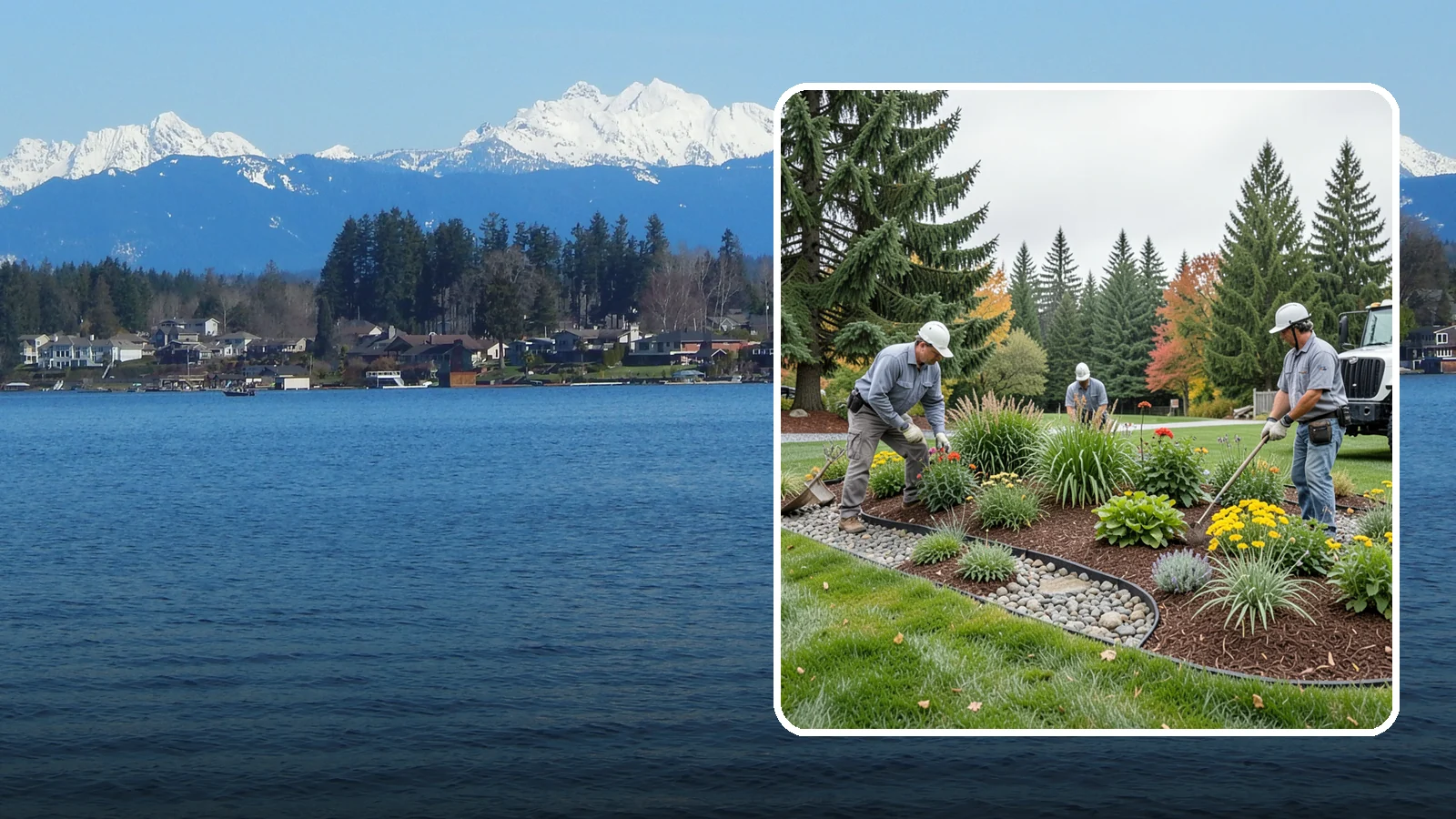
Decorative dry creek beds that manage runoff and add natural beauty to the landscape.
A dry creek bed suits Lake Stevens yards where water pools after storms, runs off a downspout, or washes across a slope and strips the soil. It also works for owners who want a planted, natural-looking feature in a spot where grass struggles.
Washington Landscaping, based in Bothell, has been in business since 2004 and offers free estimates. Below, we compare the main ways to build a dry creek bed and which local conditions favor each one.
Choosing a Dry Creek Bed Style for Lake Stevens Yards
Not every dry creek bed does the same job. The right approach depends on how much water your yard moves and where it needs to go.
Decorative bed
This is a shallow, winding channel of river rock and boulders with plantings along the edges. It suits flat or gently sloped areas with little runoff. It adds shape and texture, and it can hide a bare or soggy strip. It is not built to carry heavy flow.
Drainage bed
This one is dug deeper and wider, lined with fabric, and often sized with larger stone. It is meant to carry water from a downspout, a low spot or a hillside to a safe outlet. Lake Stevens gets about 50.8 inches of rain a year (Daymet, 2005-2025). Only about 3.7 days a year bring an inch or more, but those heavy days are the ones that test a channel. If your yard collects or moves water, size the bed for those storms, not for a typical drizzle.
Slope-control bed
On a hillside, a channel can slow water and reduce erosion. USGS 3DEP elevation data shows about 12% of Lake Stevens land slopes 15% or more. That describes the city as a whole, and your yard may differ. If you are on one of those slopes, the bed usually needs a stepped grade, larger rock and a firm outlet so water does not speed up and undercut the banks. Any grading or wall work is checked with the city for permit needs before work starts.
How to decide
- Mostly looks: choose a decorative bed.
- Standing water or downspout flow: choose a drainage bed.
- Sloped yard with washouts: choose a slope-control bed.
Timing matters too. July is the driest month here, averaging about 0.74 inches (Daymet, 2005-2025). Dry ground makes digging and shaping easier, and you can see where water actually travels once fall rain returns. We can walk your yard, look at the flow and talk through options. Call or text 425-433-9444 for a free estimate. Financing is available subject to credit approval.
Lake Stevens yard conditions at a glance
| Soil drainage (rated land) | 4% well, 88% moderately well, 8% poorly drained |
|---|---|
| Days with 1 in or more of rain | 3.7 a year |
| Share of rain October to April | 78% |
| Land sloping 15% or more | 12% (40% or more: 0.6%) |
| Average yearly precipitation | 50.8 in |
A year in a Lake Stevens yard
- Late winter
- Dormant pruning for most deciduous trees and shrubs, before buds break.
- Spring
- Last frost is usually around Mar 24; in 1 year in 10 it comes on or after Apr 12. Plant frost-tender annuals and vegetables after that.
- Early summer
- Check sprinklers and drip lines before July, the start of the dry months here.
- Summer
- July average 0.7 in. Water deeply and less often; mulch beds to hold moisture.
- Fall
- Aerate, overseed and plant trees and shrubs while the soil is warm; first frost is usually around Nov 10. Winterize irrigation before then.
- Winter
- About 40 days a year freeze at night and thaw by day: keep drains, paver joints and wall weep holes clear.
Dates are medians for the city from Daymet 2005-2025; your yard and any given year can differ.
How Lake Stevens’s soils drain
- Well drained4%
- Moderately well88%
- Poorly drained8%
Share of rated land in the USDA SSURGO soil survey; built-over ground is not rated. A soil check on your lot tells you what you have.
Sources: Daymet daily weather (NASA/ORNL), 2023 USDA Plant Hardiness Zone Map data (PRISM, Oregon State University), USDA SSURGO soil survey, USGS 3DEP elevation, USFS/NLCD tree canopy 2025, US Census ACS 2020-2024.
Lake Stevens Dry Creek Bed Installation
Local Service Information
Lake Stevens
A city surrounding the lake of the same name in central Snohomish County.
Benefits
Manages runoff and looks beautiful; Natural, water-worn streambed look; Controls erosion along flow paths; Rock and boulders for character; Function and design in one feature

Process
Dry Creek Bed Installation in nearby areas
Also serving Lake Stevens
- Foundation Waterproofing in Lake Stevensat Washington Construction
Get a Free Dry Creek Bed Installation Estimate in Lake Stevens
Tell us about your project. We’ll review your needs and provide a customized, no-obligation proposal.
Request a Free Consultation
Complete the form or call our team to discuss your project.
On-Site Assessment
We’ll review your property, discuss your goals, and recommend an appropriate solution.
Receive a Customized Proposal
Receive a detailed estimate outlining the proposed work and pricing.