Shaping Your Outdoors. Surpassing Expectations.

Lake Stevens Landscape Design
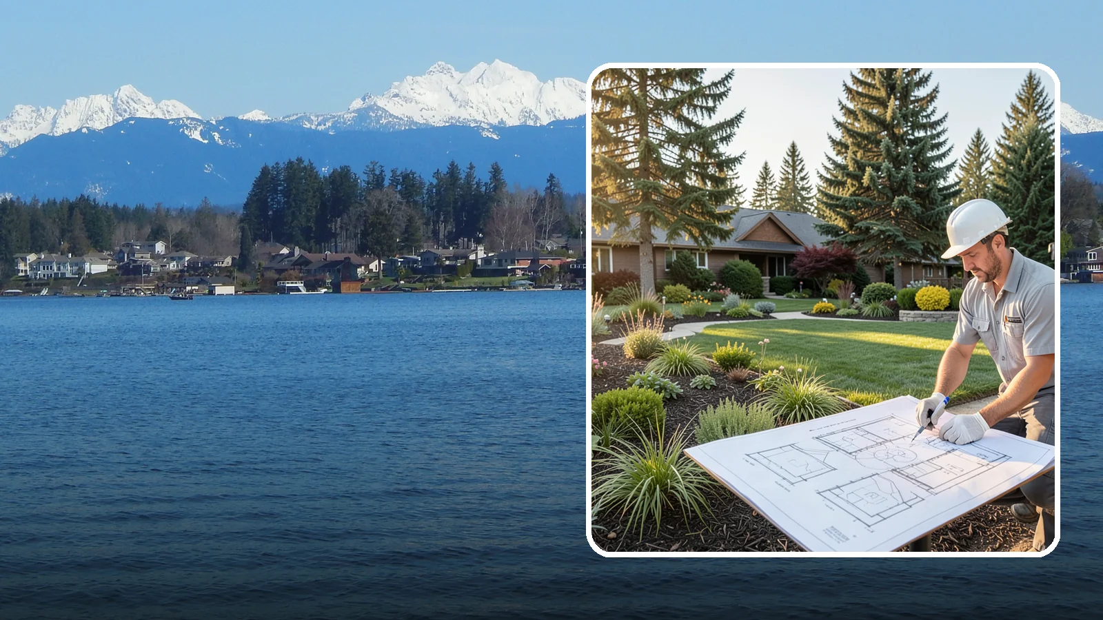
Professional landscape design that turns your goals and space into a cohesive, buildable plan you will love.
Per the USDA soil survey, about 88% of rated land in Lake Stevens is moderately well drained, and about 8% is poorly drained. That shapes a landscape design more than most people expect. Where water sits or moves slowly, it affects where beds, paths and patios go and which plants will last.
Washington Landscaping, based in Bothell, WA, offers landscape design with free estimates. A good plan starts with how your yard handles water and slope, then builds the layout around that.
How Landscape Design Works for Lake Stevens Yards
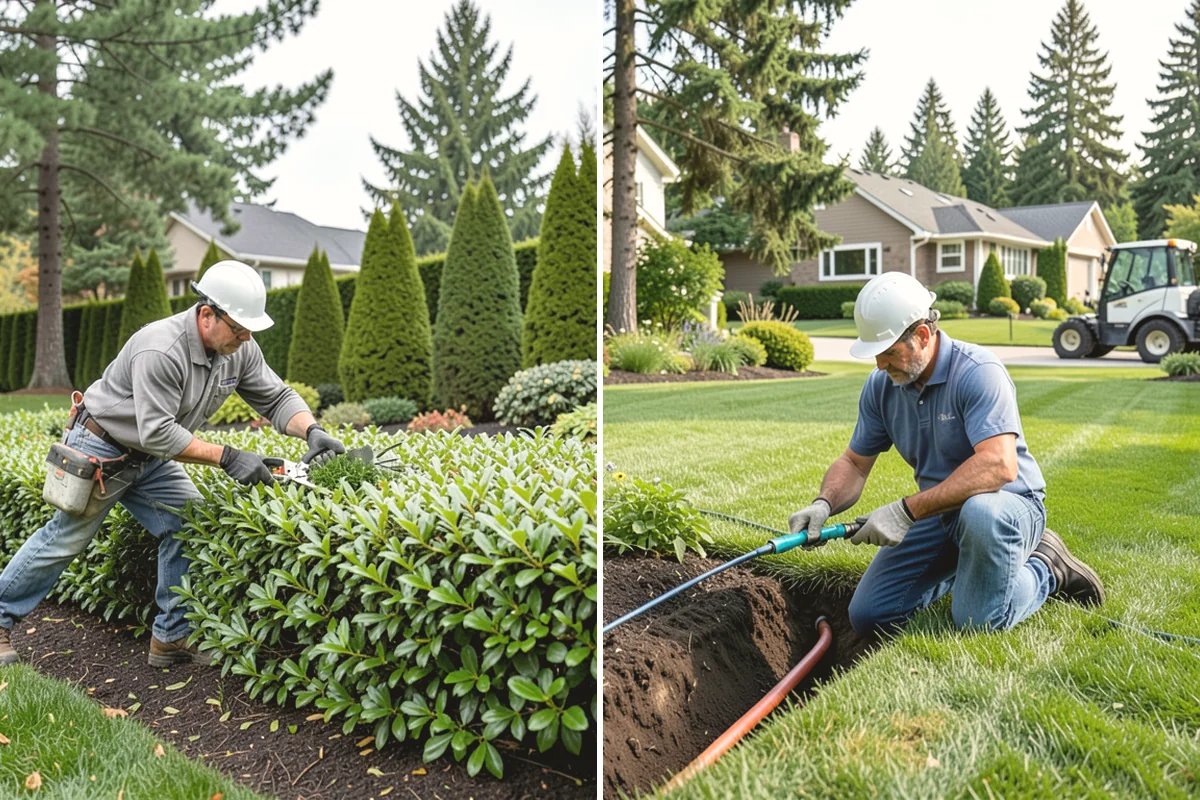
A design is a plan you can build from. Here is how the work usually goes, and where local conditions change the choices.
1. Look at the site
We start with what the yard already does: where it slopes, where water collects after rain, where the sun falls. The soil survey numbers describe Lake Stevens as a whole. Your own yard may differ, so a look at the actual ground matters more than the city average.
2. Plan around water
Since about 88% of rated land is moderately well drained and about 8% is poorly drained, slow drainage is common enough to plan for. In a design, that can mean:
- Placing lawn, beds and seating away from spots that stay wet
- Choosing plants that tolerate damp winter soil in low areas
- Raising or reshaping planting areas where needed
3. Account for slope
About 12% of Lake Stevens land slopes 15% or more, per USGS elevation data. If part of your yard is steep, the design may include terraced beds, retaining walls or erosion-resistant plantings. Walls, grading and structures may need a permit, so we check requirements with the city before work starts.
4. Pick plants for the zone
Lake Stevens is USDA zone 8b, with an average coldest winter night of about 16.8 F on the 2023 map. That is an average, and a given winter can run colder. We choose plants rated for the zone and favor some margin for cold snaps.
5. Review the plan and budget
You see the layout before anything is built. Estimates are free, and financing is available subject to credit approval. The company is licensed, bonded and insured ($2M).
To start, call or text 425-433-9444.
Lake Stevens yard conditions at a glance
| USDA hardiness zone (2023) | 8b |
|---|---|
| Land sloping 15% or more | 12% (40% or more: 0.6%) |
| Soil drainage (rated land) | 4% well, 88% moderately well, 8% poorly drained |
| Tree canopy | 31.4% of the city |
| Single-family detached homes | 83% of housing |
A year in a Lake Stevens yard
- Late winter
- Dormant pruning for most deciduous trees and shrubs, before buds break.
- Spring
- Last frost is usually around Mar 24; in 1 year in 10 it comes on or after Apr 12. Plant frost-tender annuals and vegetables after that.
- Early summer
- Check sprinklers and drip lines before July, the start of the dry months here.
- Summer
- July average 0.7 in. Water deeply and less often; mulch beds to hold moisture.
- Fall
- Aerate, overseed and plant trees and shrubs while the soil is warm; first frost is usually around Nov 10. Winterize irrigation before then.
- Winter
- About 40 days a year freeze at night and thaw by day: keep drains, paver joints and wall weep holes clear.
Dates are medians for the city from Daymet 2005-2025; your yard and any given year can differ.
How Lake Stevens’s soils drain
- Well drained4%
- Moderately well88%
- Poorly drained8%
Share of rated land in the USDA SSURGO soil survey; built-over ground is not rated. A soil check on your lot tells you what you have.
Sources: Daymet daily weather (NASA/ORNL), 2023 USDA Plant Hardiness Zone Map data (PRISM, Oregon State University), USDA SSURGO soil survey, USGS 3DEP elevation, USFS/NLCD tree canopy 2025, US Census ACS 2020-2024.
Lake Stevens Landscape Design
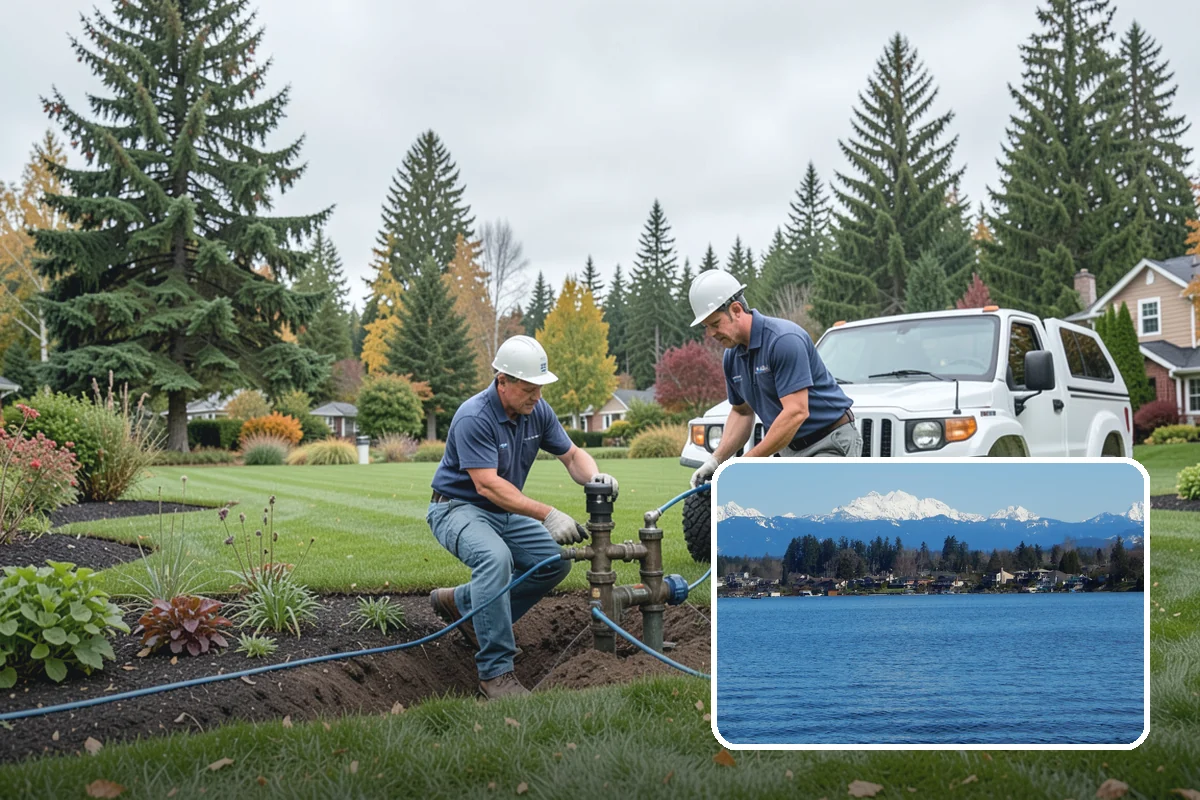
Local Service Information
Lake Stevens
A city surrounding the lake of the same name in central Snohomish County.
Benefits
A cohesive, buildable plan; Balances beauty and function; Considers sun, soil, and drainage; A roadmap to build in phases; Avoids costly mistakes
Process
Landscape Design in nearby areas
Also serving Lake Stevens
- Construction Consulting in Lake Stevensat Washington Construction
- House Algae Removal in Lake Stevensat Washington Pressure Washing
- Commercial Roof Installation in Lake Stevensat Washington Roofing
Get a Free Landscape Design Estimate in Lake Stevens
Tell us about your project. We’ll review your needs and provide a customized, no-obligation proposal.
Request a Free Consultation
Complete the form or call our team to discuss your project.
On-Site Assessment
We’ll review your property, discuss your goals, and recommend an appropriate solution.
Receive a Customized Proposal
Receive a detailed estimate outlining the proposed work and pricing.